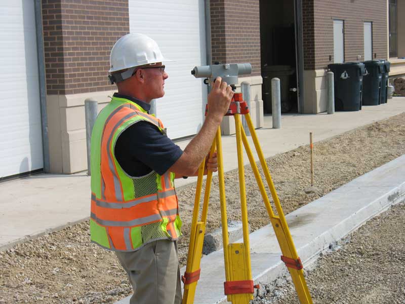
We own state-of-the-art electronic surveying instruments and utilize computer-based coordinate geometry and surveying programs in the execution of our surveying work.
State-of-the-art equipment includes the new generation high-definition survey system Scan Station or 3-D Laser Scanner. This equipment enables us to provide a level of accuracy, efficiency, crew safety, and available data not achievable with conventional equipment. Using this equipment, we have the ability to acquire locations for pieces of critical information by producing a virtual 3-D point data cloud. The point cloud imaging capability allows us to visually review the field-collected data sets for completeness as the survey progresses. The end result is a cost-effective survey product that provides greater unobstructed detail in a shorter period of time, while keeping the surveyor out of harm’s way.
Services We Provide Include…
- Boundary surveys to ALTA/ASCM standards
- Topographic
- Photo control
- Hydrologic
- Instrumentation
- Construction stakeout
- Route surveys